
1. In a nutshell, Ohio’s geography can be divided into two parts. The west is underlain by erodible limestone and dolomite. 200 million years of erosion and the movements of the Pleistocene glaciers have leveled it into a mostly flat landscape. In contrast, the east is underlain by erodible shale, which is capped by erosion-resistant sandstone. Erosion has resulted in deep valleys flanked by steep sandstone hills. The glaciers did not reach this portion of the state, which contributes to the existence of the hills.
2. Ohio’s original sedimentary rock strata, from top to bottom, consisted of sandstones, shales, and limestones. 200 million years ago, at the end of the Paleozoic Era, these layers were tilted into a low arch. This arch was formed by the same geologic pressures that created the Appalachian Mountains to the east. The crest of the arch was located in the area that is now western Ohio. This part of the arch was exposed to the most erosion, whittling away the sandstone and shale layers and leaving only a mostly flat plain of limestone behind. In contrast, the bottom of the arch was located in the eastern part of the state. The resistant sandstone layer was not completely cut away by erosion here, leaving cuts in the landscape. This pattern of erosion created the sandstone hills characteristic of this part of the state. Most erosion of the limestone in the west and the sandstone and shale in the east was caused by the preglacial Teays River. This river was present in Ohio for about 200 million years, and it continued to erode the landscape until its flow was halted by the advance of the Pleistocene glaciers.
3. The glaciers’ advance was slowed by the steep sandstone hills of eastern Ohio. However, the flat limestone plains of western Ohio provided no resistance and the glaciers were able to reach as far as northern Kentucky. These sandstone hills created what is known as the glacial boundary, an imaginary line delineating the movements of the Pleistocene glaciers in Ohio.

4. When the glaciers retreated, they deposited sediments. One type of deposition is called till. Till is an unsorted mixture of sand, silt, clay, and boulders that is deposited and accumulated by the melting of ice. Till occurs as a broad, continuous swath over almost all of glaciated Ohio. It is rich in lime and clay, products of glacial abrasion on the local bedrock. By contrast, the till in eastern Ohio contains very little lime or clay, except on the margins of some sandstone hills.
5. The geology of glaciated and unglaciated Ohio result in two very different forms of substrate for plants.
Western Ohio:
- limey, clayey till
- impermeable to water, poorly drained and poorly aerated
- prone to standing water, which limits oxygen availability during wet periods and increases drought severity in dry periods
- abundant in plant nutrients
Eastern Ohio:
- sandstone
- highly permeable
- when exposed, produces acidic, low-nutrient substrate
- dry on the tops of hills, wetter at lower elevations due to springs
6.
Limestone/limey substrates:
- Redbud (Cercis canadensis)
- Hawthorn (Crateagus mollis)
- Blue ash (Fraxinus quadrangulata)
- Snow trillium (Trillium nivale)
- Sedge (Carex eburnea)
High-lime, clay-rich glacial till
- Sugar maple (Acer saccharum)
- Beech (Fagus grandifolia)
- Red oak (Quercus rubra)
- Shagbark hickory (Carya ovata)
- White oak (Quercus alba)
Sandstone hills of the east:
- Chestnut oak (Quercus montana)
- Sourwood (Oxydendrum arboreum)
- Mountain maple (Acer spicatum)
- Hemlock (Tsuga canadensis)
- Mountain laurel (Kalmia latifolia)
7. Sweet buckeye is not found in glaciated Ohio. The exact reason why is unknown, but it may have something to do with an inability to repopulate the lime-clay glacial till before the ice left Ohio. Hemlock shares the unglaciated distribution of sweet buckeye, but its distribution extends further north, even past the glacial boundary. This is thought to be because of its ability to tolerate cooler temperatures. In comparison to the other two, rhododendron also exists south of the glacial boundary, but its patchy distribution suggests that the species was once part of the mixed mesophytic plant community in Ohio, that was created by the Teays River.
Battelle Darby Metropark is representative of western Ohio’s lime-clay substrate. During the field trip, we were requested to find and document four limestone loving plant species, as well as two invasive species. I was also individually tasked with documenting two wetland tree species.
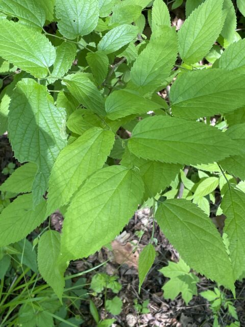
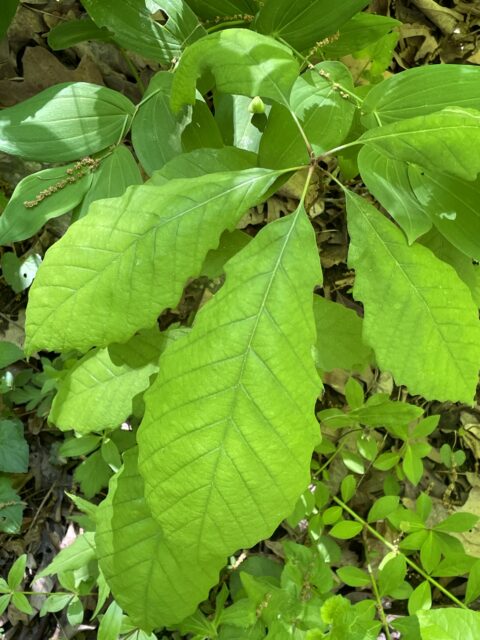
Limestone lover – Hackberry (leaf detail)
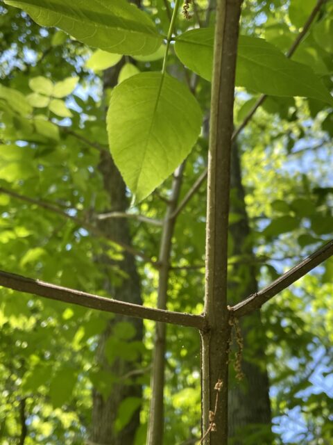
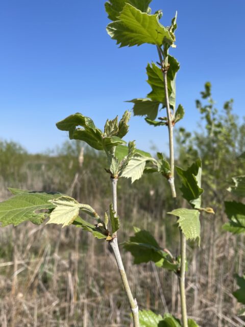
Limestone lover – Blue Ash (bark detail)
Limestone lover – Blue Ash (leaf detail)
Limestone lover – Redbud
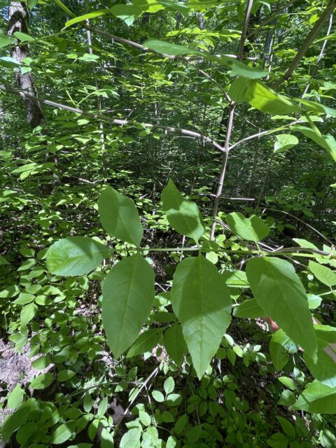
Limestone lover – Chinkapin oak (leaf detail)
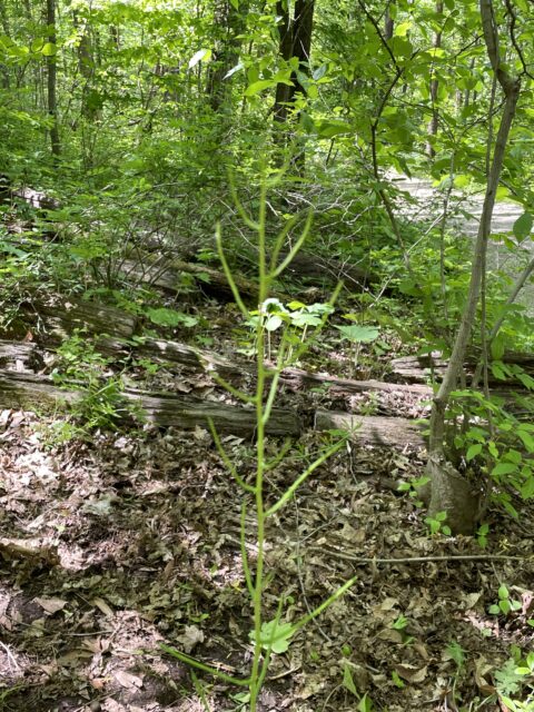
Invasive – wild garlic mustard
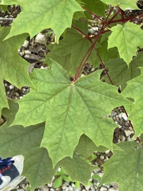
Invasive – Norway maple
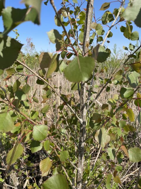
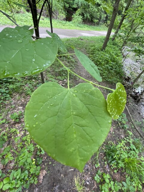
Wetland tree – Cottonwood
Wetland tree – Sycamore